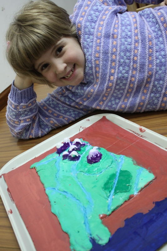
Somehow I managed to get through my childhood without ever making a salt dough map. Or if I did make one, it made so little impression on me that I don’t remember it at all. Well, not wanting to repeat that travesty with Sprite, we made a salt dough map this week! It was quite an entertaining project for the crafty and hands-on Sprite. To make the map, she had to study the AL outline and topography in detail. I know that from now on, she will be able to identify AL from its outline. (Why AL? I let her choose one state. She was born in AL.)
I’m such a sneaky mom. When we were nearing completion on this two day project, I said, “Well, one down! Only 49 more to go!” She looked at me in terror, “We’re making one of these for EVERY state?” I couldn’t resist having a little fun with her. Don’t you do things like that with your children?
It made a good tie in with our 50 States Notebook, and we discussed some geography as we worked on it. Yes, she thinks the Appalachian Mountains are like the Rockies “purple mountains majesty.” They were already snow capped purple mountains before I realized the misunderstanding. Oh well. Another teachable moment.
For the whole low down of the project, including the recipe for the salt dough, and step by step directions, click over to Salt Dough Map. I’ve got a new camera that’s so much fun to play with! So that new lens features a LOT of pictures of the project.

Just reading through some of your archives… what an awesome project. We’ll have to do this one, (among MANY, MANY others you guys have done!!) And how cool to do AL, we will be vacationing there in about a week! Love the Gulf Coast. 😉